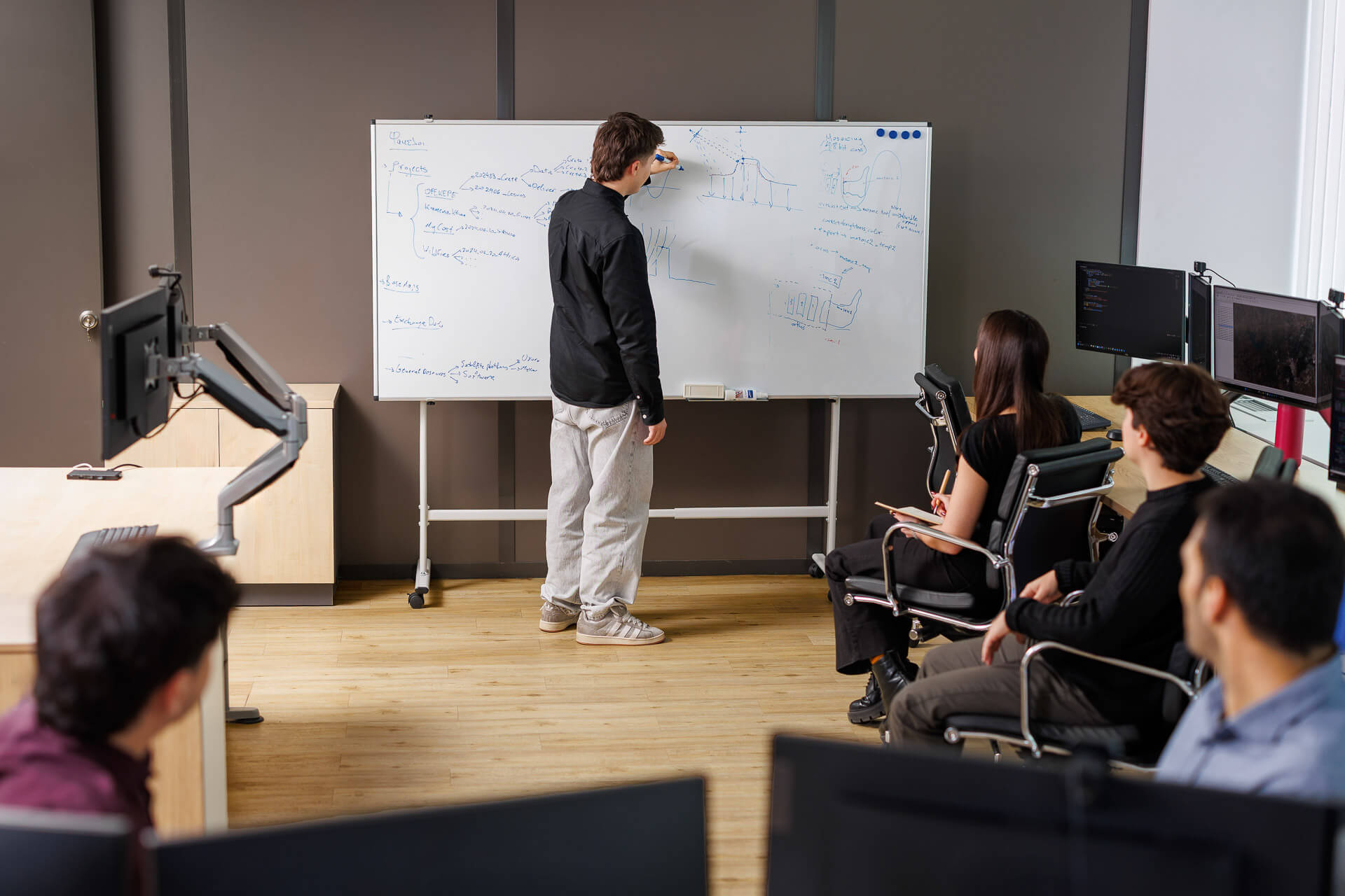
The Tasking Team is the core operational unit of the Hellenic Space Center, with the mission of providing timely and immediate access to satellite imagery and data to meet both routine and emergency needs of public sector entities.
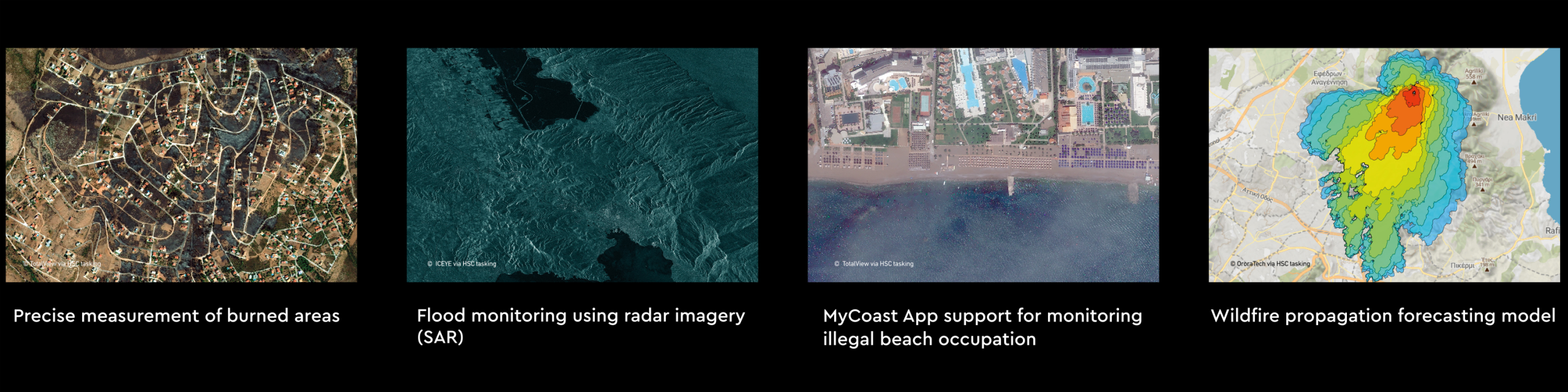

What we do
A specialized team of scientists/engineers in the fields of Remote Sensing – Photogrammetry – Geoinformatics, undertakes:
-
Programming the reception, collection and control of appropriate satellite data (optical, hyperspectral, thermal, SAR).
-
Radiometric and geometric correction of satellite data.
-
Creation of high-precision/fidelity geospatial backgrounds (orthophotomosaics, markers, etc.)
-
Homogenization with existing backgrounds and management through a single geospatial database, for secure analysis and decision-making.
Tasking Team
Satellite infrastructure & partnerships
We are responsible for receiving, processing and disseminating data from the Greek microsatellite network, a project that has been developed in collaboration with international manufacturers (ICEYE, OroraTech, Open Cosmos).
At the same time, we collect and manage satellite data for the operational services of Axis 3 of the National Satellite Program of Greece (land, water, agriculture, forestry and security monitoring applications), which feed the central hub (Hub) as raw material for the creation of thematic geospatial services.
Tasking Team
Supported entities
We already provide operational support to bodies such as: Ministry of Climate Crisis & Civil Protection, Hellenic National Defense General Staff, Fire Brigade, Hellenic Cadastre, Technical Chamber of Greece, Greek Payment Authority of Common Agricultural Policy.
Tasking Team
Infrastructure
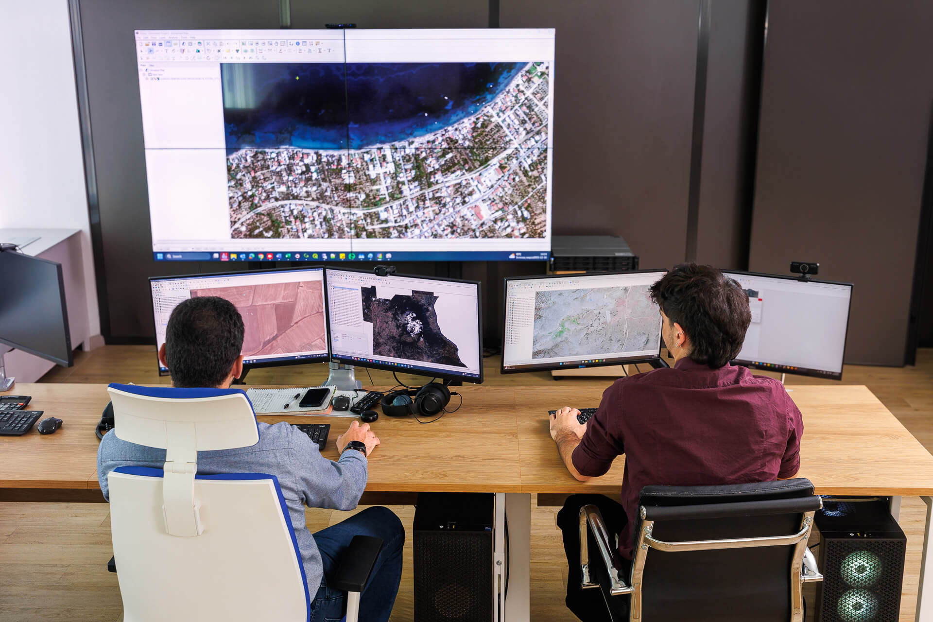
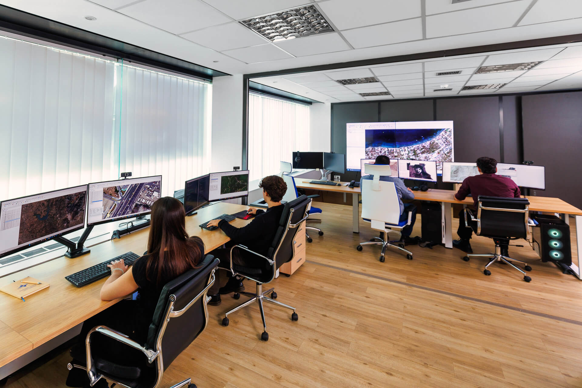
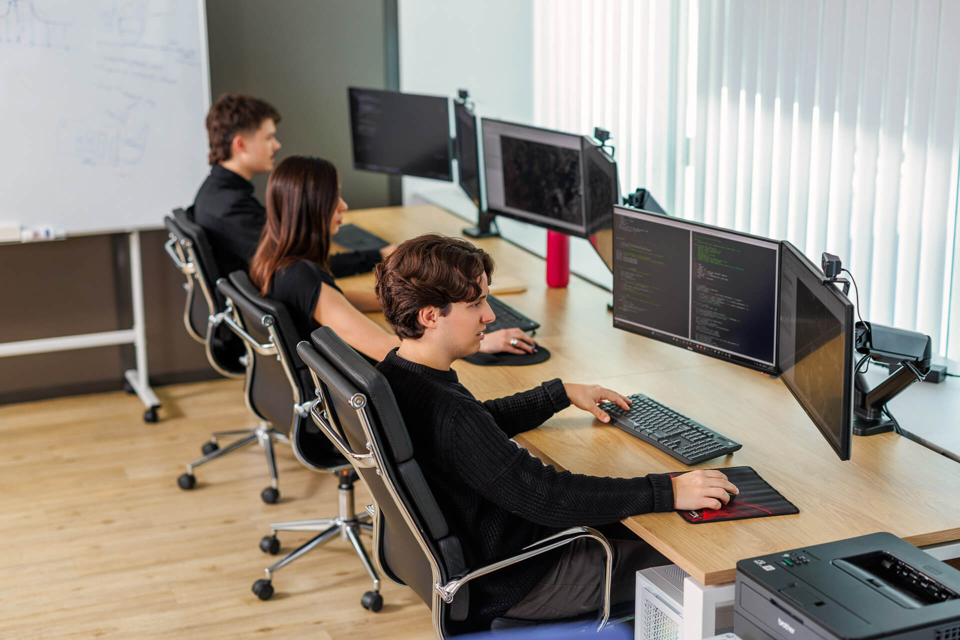
The Tasking Team operates in a purpose-built space of the Hellenic Space Center with specialized software and infrastructure of high computing power, ensuring reliability, accuracy and continuous technological upgrading of the provided services.
Team
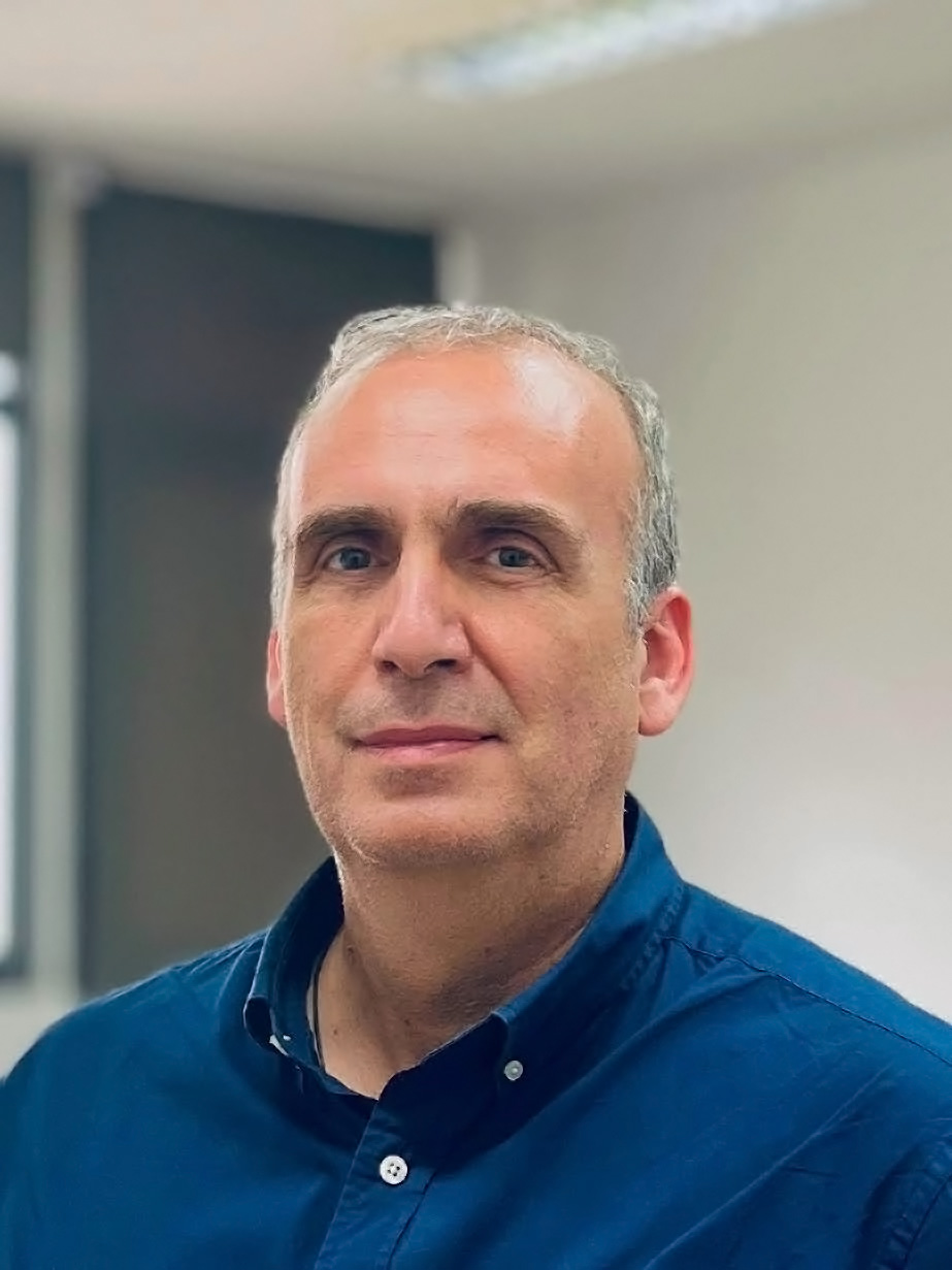
Lazaros Grammatikopoulos
Lazaros Grammatikopoulos is an Associate Professor of Photogrammetry and Computer Vision at the Department of Surveying and Geoinformatics Engineering at UNIWA. He received his engineering diploma from the School of Rural and Surveying Engineering at NTUA, where he finished his PhD.
Resume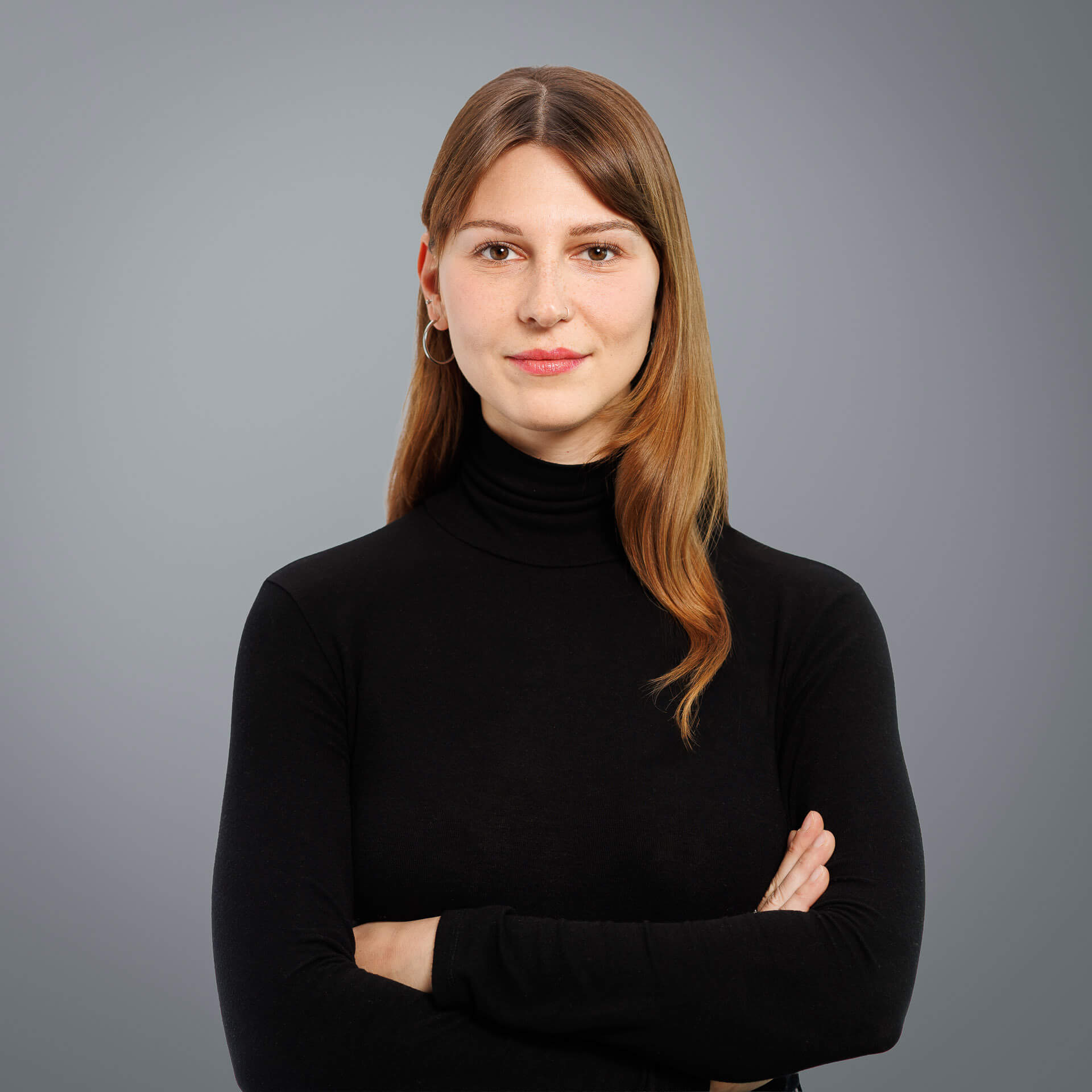
Zoe Dimou
She has experience in photogrammetry, geoinformatics, and the processing of geospatial and satellite data.
As part of her undergraduate research, she developed an interactive map and a spatial database of coastal shipwrecks in Greece, utilizing satellite data. This project was presented at the BlueMed PLUS International Conference 2022.
Manos Papadimitriou
Graduate of the Department of Surveying and Geoinformatics Engineering at UNIWA, with specialization in Photogrammetry and Remote Sensing, and postgraduate student in the MSc Artificial Intelligence and Visual Computing at UNIWA in collaboration with the University of Limoges, specializing in Data Science.
Resume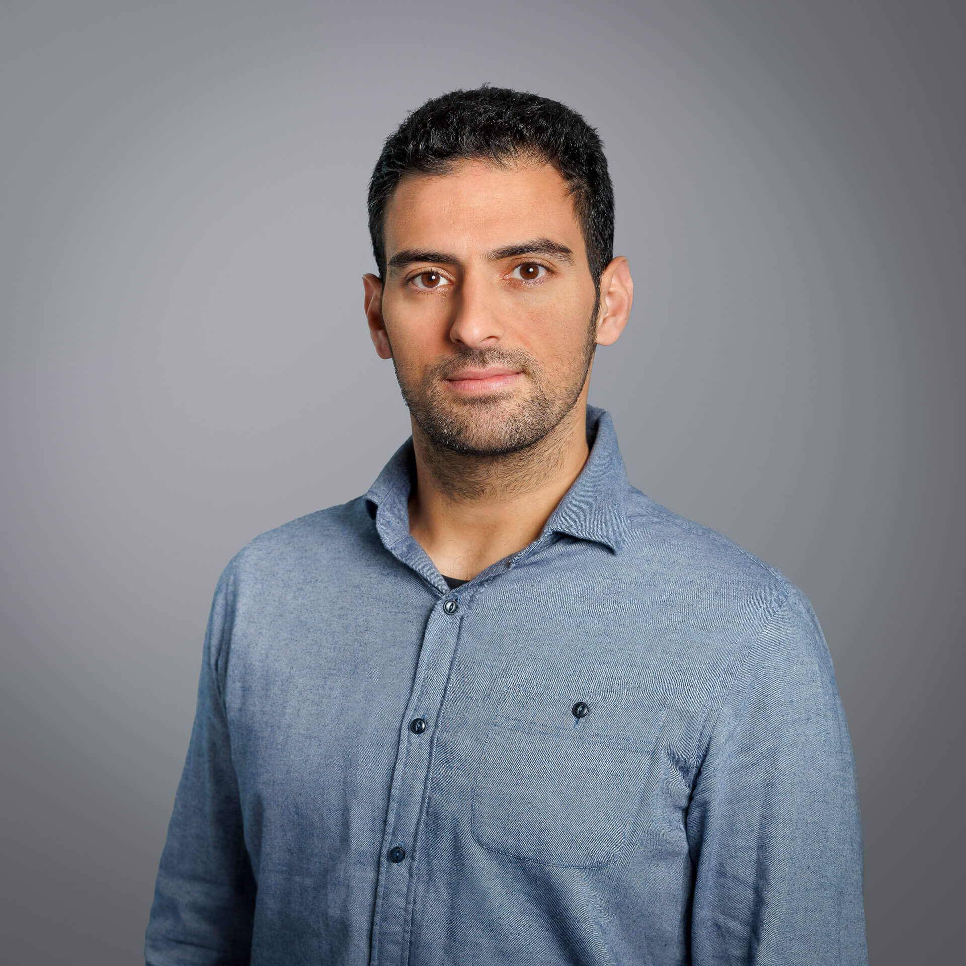
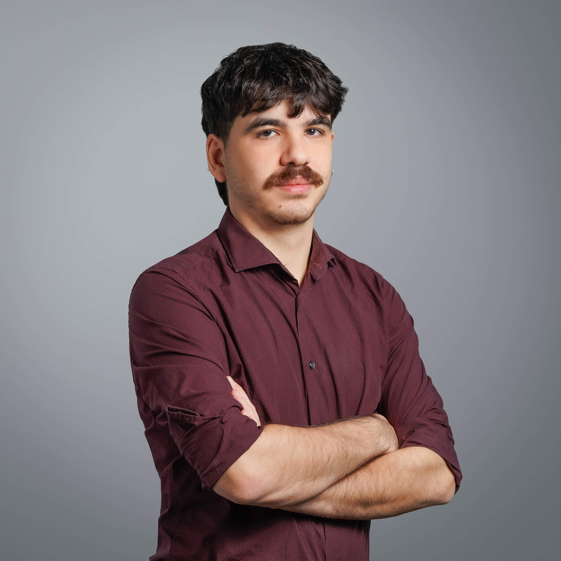
Aggelos Pnevmatikakis
He is experienced in satellite image analysis and hotogrammetric methods, as well as the development of geospatial applications in GIS environments. He specialises in processing and analysing data to produce orthophotomaps and digital terrain models, and has experience of implementing Structure from Motion (SfM) methods in a variety of data, including historical aerophotographs.
ResumeDimitrios Liaskos
Ηis scientific interests are focused on the visual perception of maps, programming of geoinformatics applications, and geographic information systems in an online environment. Within the scope of his doctoral dissertation, he has developed algorithms and novel statistical indices for analyzing and modeling eye-tracking data during geospatial tasks.
Resume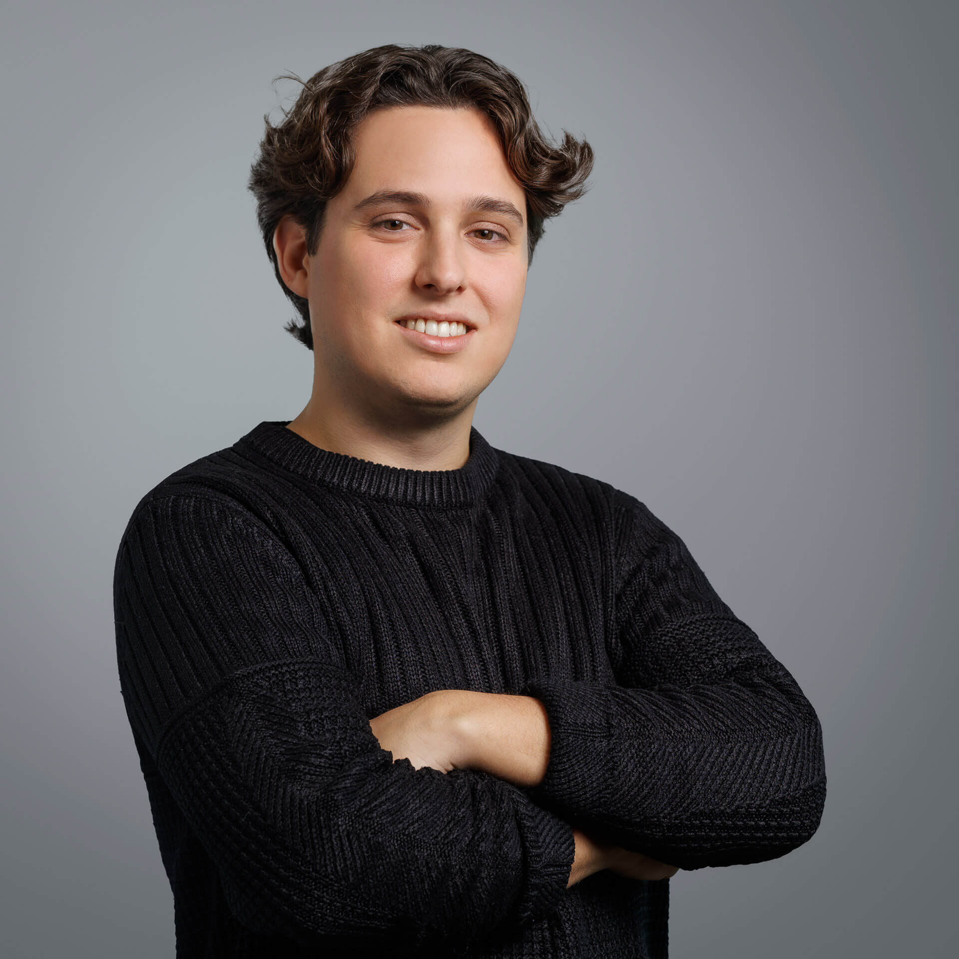
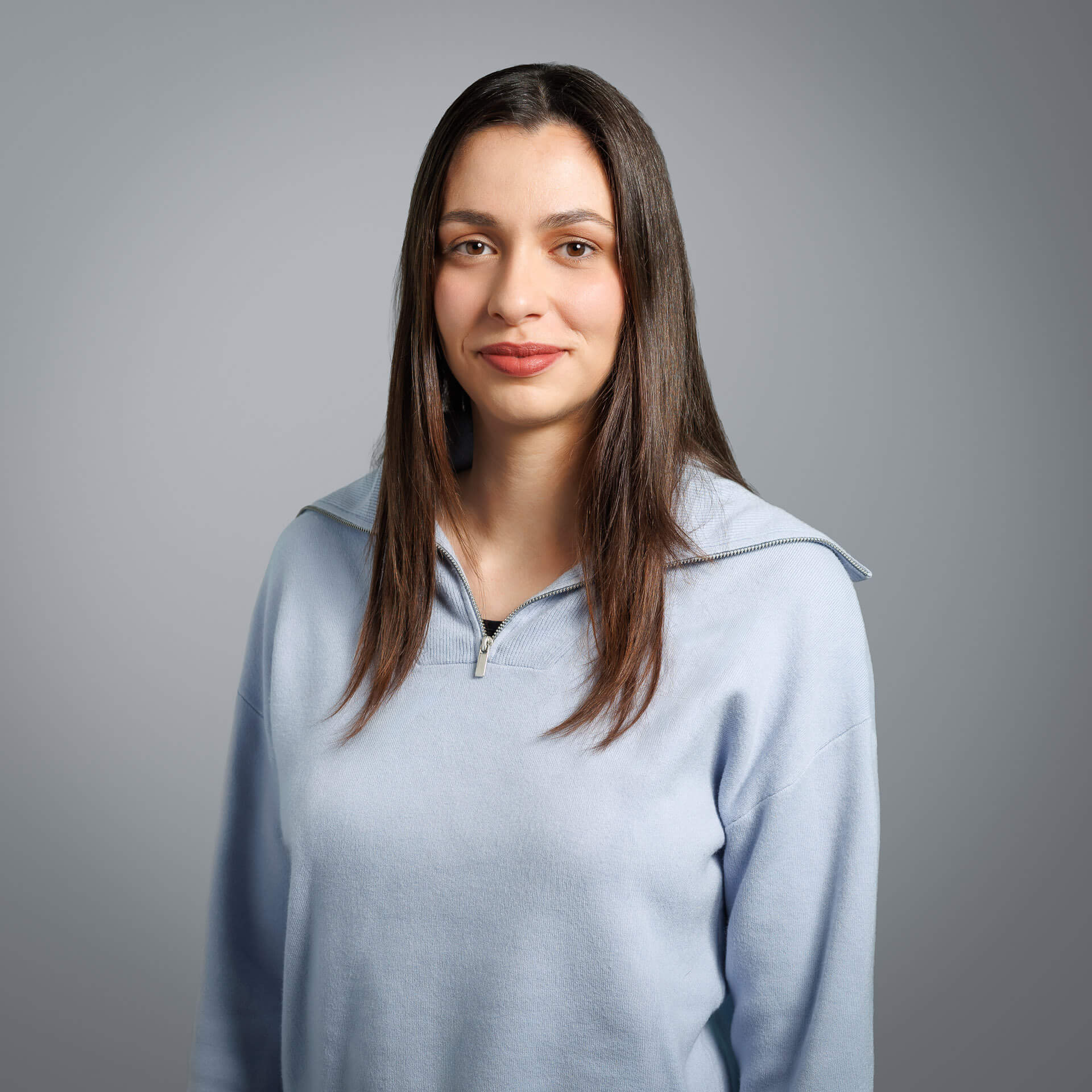
Nefeli Kavvatha
She has experience in remote sensing, Earth observation, photogrammetry, and geoinformatics applications. She has worked on numerous projects involving geospatial and satellite data processing, orthorectification and orthomosaic production, DSM and DTM production, as well as large-scale mapping, funded by the European Union (COPERNICUS, etc.). At the same time, she has worked on and managed cadastral projects, developing geospatial applications in GIS environment.
ResumeFilip Szymon Flis
He has experience in satellite image processing, as well as in producing high-accuracy mosaics and orthomosaics.
His thesis focuses on monocular depth estimation, applying computer vision and 3D analysis methods to extract depth information from imagery.