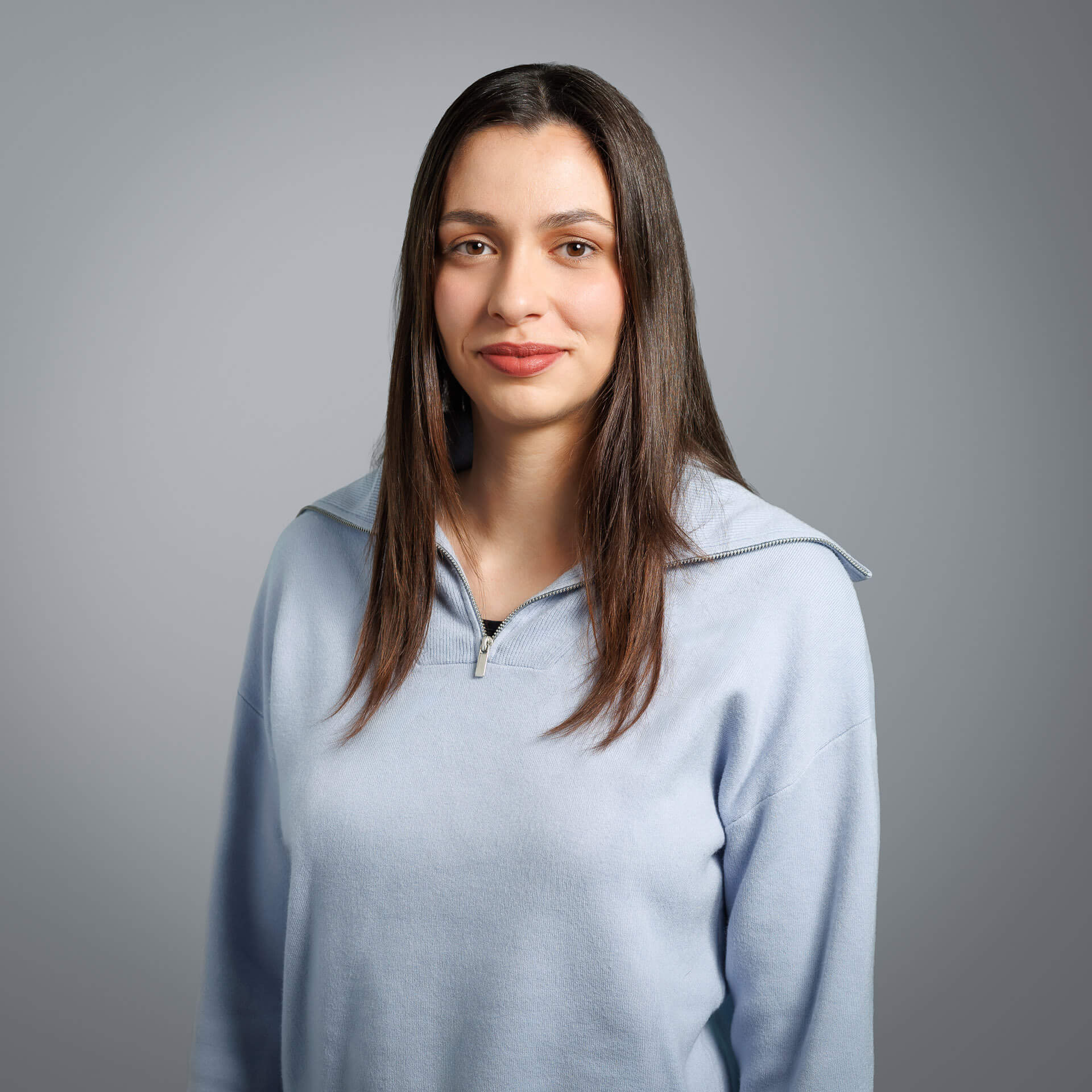
She has experience in remote sensing, Earth observation, photogrammetry, and geoinformatics applications. She has worked on numerous projects involving geospatial and satellite data processing, orthorectification and orthomosaic production, DSM and DTM production, as well as large-scale mapping, funded by the European Union (COPERNICUS, etc.). At the same time, she has worked on and managed cadastral projects, developing geospatial applications in GIS environment.