When you think of “space”, you probably imagine astronauts in bulky suits, floating weightlessly outside a space station. However, beyond these immediately visible and generally familiar images, far more is happening up there than you might think.
There are currently about 10,000 active satellites in orbit, generating vast amounts of data that support Earth’s infrastructure, economies, and national security systems. With the help of space-based services, utility companies synchronize energy flows across grids, stock exchanges record transactions, oceanographers track endangered whales, scientists monitor climate conditions, and farmers boost crop yields.
Communication satellites allow air traffic controllers to manage aircraft in crowded airspace. Earth observation satellites provide near-real-time insights into what’s happening on the planet’s surface, while weather satellites tell us whether we need an umbrella when we need it most.
Satellites also make it possible to track the delivery of online purchases, adjust your home thermostat from the office, talk with your family overseas, avoid traffic jams — and perhaps even find the love of your life.”
Introduction
“Space-based services have become fundamental to our daily lives. A June 2019 report estimated that Global Positioning System (GPS) satellites have generated approximately $1.4 trillion in economic benefits since the system became available for civilian and commercial use in the 1980s. And GPS is just one of the many satellite capabilities that provide us with daily benefits.
The use of space-based services continues to grow as more countries and companies launch and operate satellites. In the next five years, by 2030, more than 70,000 low-Earth orbit satellites are expected to be launched, marking a significant increase.
The usage and reliance of society on satellites will dramatically expand as satellite operators innovate and offer new products and services.
Different sectors of the economy depend on these services to varying degrees. Military forces and emergency management services rely on services made possible only by satellites. While most industries have backup systems, the cumulative effects of an interruption in multiple interconnected networks and systems would cause significant problems, as satellite services support critical infrastructure.
Everyone relies on space, but few understand just how much. This page will help us better understand how the modern world depends on space, sector by sector.”
The four main categories of satellite capabilities are:
Positioning, Navigation, and Timing Satellites (such as GPS)
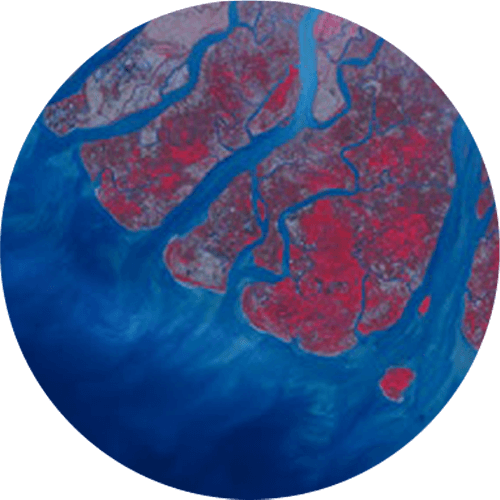
Earth Observation Satellites (which collect data from the reflected or emitted energy from Earth)
Μετεωρολογικοί δορυφόροι Δορυφόροι επικοινωνιών
Communication Satellites
These categories are vital for industry and public administration. From agriculture to national security, from environmental monitoring to finance, from commercial fishing to emergency services, the invisible yet invaluable satellite services enable or facilitate countless everyday applications — many of which we often take for granted.
AGRICULTURE
Agriculture is increasingly dependent on services provided through satellites. Farmers and ranchers use them to monitor crops, observe the condition of fields and pastures, guide their tractors and machinery, and decide when to plant, cultivate, or harvest.
The first beneficiaries were farmers who began using data from weather satellites as early as the 1960s. These satellites continue to play an important role in long-term forecasting, alongside local Doppler radars and ground stations. Satellite data regarding soil moisture and temperature help determine when crops need irrigation, when livestock should be moved, and when to spray or harvest.
In fact, studies show that farmers with access to satellite television are more likely to consider meteorological data when making decisions. However, the real value for agriculture lies in the use of high-resolution GPS and Earth observation — revolutionary tools for managing large-scale farms. GPS is essential for navigation and personalized cultivation.

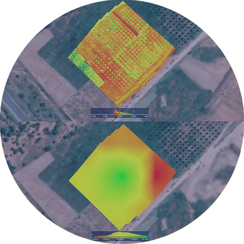
Earth Observation for Field Analysis
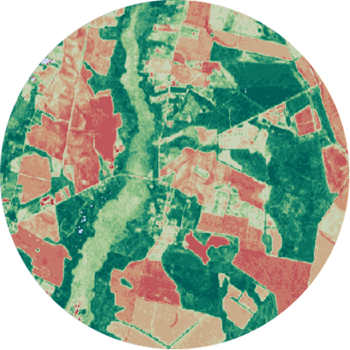
Farmers can also assess the health of their crops through Earth observation, or satellite imagery that captures the Earth’s surface. Companies like Planet provide images that assist in monitoring growth, analyzing fields, detecting anomalies, and optimizing inputs.
This data is utilized by both commercial enterprises and governments or organizations focused on food security and famine prevention. Earth observation can also estimate the chlorophyll content in leaves, which is an indicator of photosynthetic activity, nitrogen content, and a factor in assessing plant stress, carbon sequestration, and soil moisture.
Additionally, it is used for elevation mapping, which is critical for areas lacking accurate topographic maps.
Usage Statistics
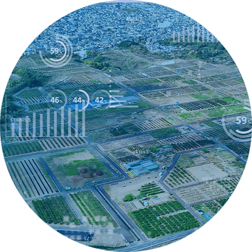
“Precision agriculture” was used in less than 50% of corn crops in the U.S. in 2005, but over 72% just five years later. According to an analysis, the precision agriculture market in the EU is estimated to reach $4.28 billion by 2024, with a projected growth of 13.7% by 2033.
Commercial Fishing and Marine Monitoring
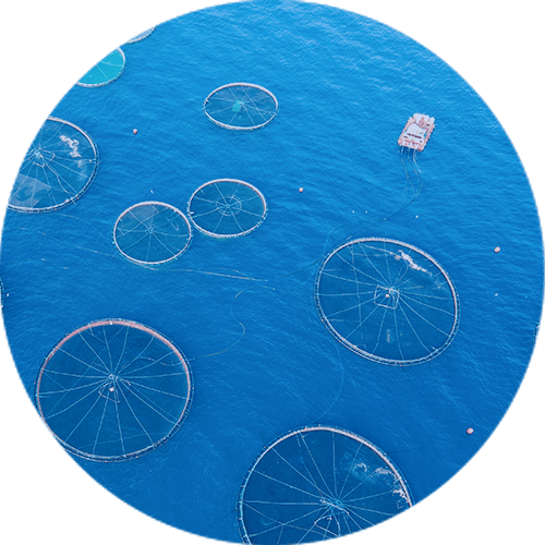
All types of satellites are widely used in the marine industry. Weather satellites reduce weather-related risks, Earth observation monitors fish stocks, GPS provides accurate navigation, and communication satellites enable the tracking of marine animals and data collection.
Professional fishermen can subscribe to Earth observation services that offer predictive data on fish locations, based on sea surface temperature and ocean color. Using GPS, they locate and recover equipment and communicate with other vessels and authorities. Nearly all commercial vessels are equipped with GPS antennas, while satellite phones are used due to the lack of mobile coverage.
Satellites also assist in enforcing regulations. In clear weather, they can detect fishing boat lights at night and alert authorities to illegal fishing activities.
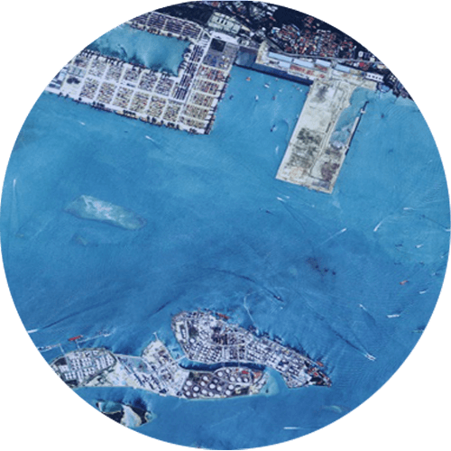
Earth Observation for the Seas
GPS and communication satellites are also used to monitor marine animals (whales, seals, turtles). The transmitters on the tags send movement data, which helps protect endangered species and provides additional environmental information (such as temperature and salinity).
Additionally, sail drones — autonomous sail-powered vessels — are used to collect ocean data and transmit it via satellite to researchers.
Satellite Tagging of Animals
GPS and communication satellites are also used to monitor marine animals (whales, seals, turtles). The transmitters on the tags send movement data, which helps protect endangered species and provides additional environmental information (such as temperature and salinity).
Additionally, sail drones — autonomous sail-powered vessels — are used to collect ocean data and transmit it via satellite to researchers.
Environmental Monitoring
Satellite services support the forecasting and tracking of weather patterns, while
also enabling a deeper understanding of changes in the Earth’s climate, surface,
and atmosphere.
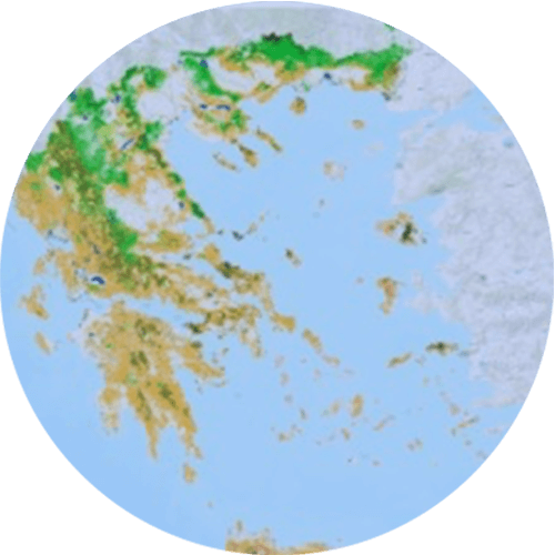
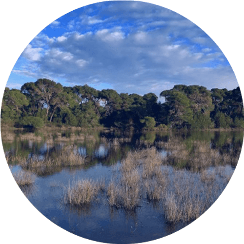
Weather Forecasting
Accurate forecasts enable governments to prepare for natural disasters and help businesses manage risk. Since the 1960s, meteorological satellites have transformed forecasting—shifting from uncertain three-day outlooks to reliable ten-day predictions.
Early warnings for hurricanes and floods are now issued sooner and with greater precision, significantly reducing casualties. Satellite data is shared globally through the World Meteorological Organization. While ground stations and Doppler radars complement satellite observations, only satellites can monitor remote regions such as oceans and polar areas.
Every day, the U.S. National Weather Service alone receives roughly 140 million satellite-based observations. Emerging technologies—like LIDAR and GPS signals analyzed as they pass through the atmosphere—are set to enhance accuracy even further.
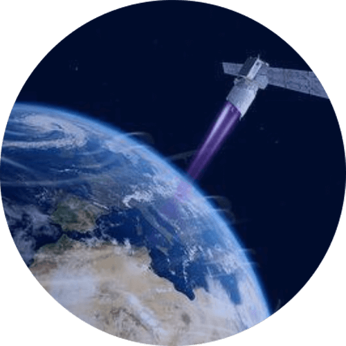
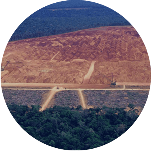
Pollution and Climate Assessment
Satellites play a crucial role in tracking long-term environmental changes,
monitoring air pollution, and detecting deforestation. Local authorities
increasingly rely on satellite data to measure pollution levels for example, coastal
water quality in Florida.
Satellite-image analysis has proven more accurate than many ground-based
measurements, uncovering significant errors in conventional air-quality
classifications. Both NASA and the EU use satellite systems to monitor ice melt
and rising sea levels, generating long-term climate data that is essential for
understanding and responding to climate change.
Health and Medical Advances
Technologies developed for human spaceflight have directly contributed to major breakthroughs in healthcare and medical diagnostics. The need for compact, durable equipment suitable for spacecraft led to the miniaturization of diagnostic tools now used in remote locations and emergency settings, making advanced care accessible where traditional facilities are limited.
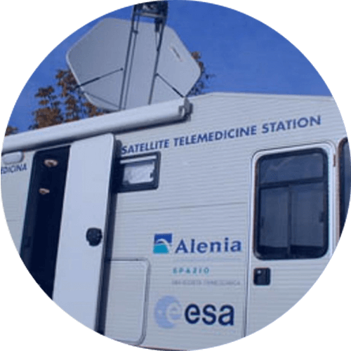
Remote-monitoring systems originally designed for astronauts have been adapted for telemedicine, enabling healthcare professionals to track patients from afar. Imaging technologies such as MRI and CT have also benefited from advances in signal processing and data management that were first developed for space missions.
Research conducted in microgravity has further expanded scientific understanding of key physiological processes including bone-density loss, cardiovascular function, and immune response. These insights hold significant potential for improving how we address aging and chronic diseases on Earth.
Urban Environment and Spatial
Planning

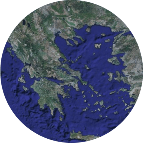
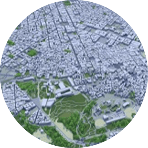
Satellite data is now widely used to monitor urban expansion, classify land cover and land use, detect illegal construction, and track environmental sustainability indicators within cities. It also plays a key role in producing National Base Maps; for example, the Hellenic Cadaster now relies on nationwide satellite imagery provided by the Hellenic Space Center, replacing traditional aerial photography.
Emergency Services
In every type of disaster whether natural or human-made satellite services play a
vital role in safeguarding lives and protecting property.

Weather Alerts
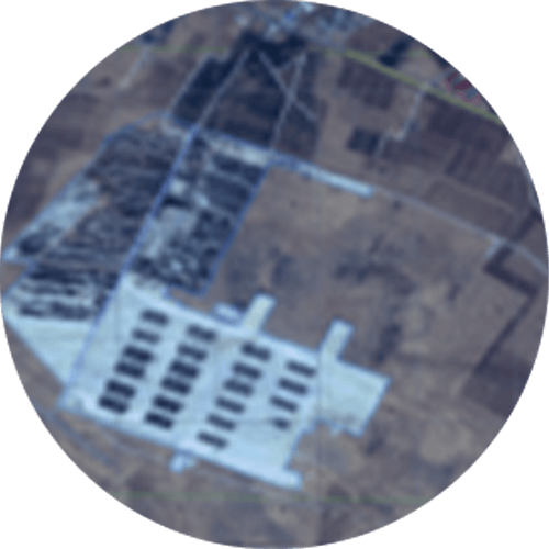
Prevention is the most effective form of disaster response. Satellites detect emerging hazards from severe storms to wildfires through thermal imaging. Alerts are then transmitted via television, radio, and mobile networks using satellite signals, giving people the critical time they need to protect themselves or evacuate safely.
Emergency Communications
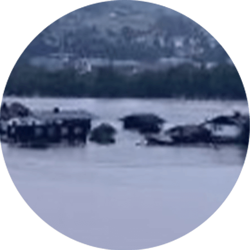
When ground-based communication infrastructure is damaged, satellites providec a resilient alternative, ensuring connectivity even in isolated or inaccessible regions.
Rescue teams rely on satellite transceivers and GPS to coordinate operations and maintain contact with authorities. Today, large constellations of low-Earth- orbit satellites such as Starlink deliver high-speed internet to remote locations and areas without terrestrial networks, even supporting connectivity for passengers in flight.
Damage Assessment
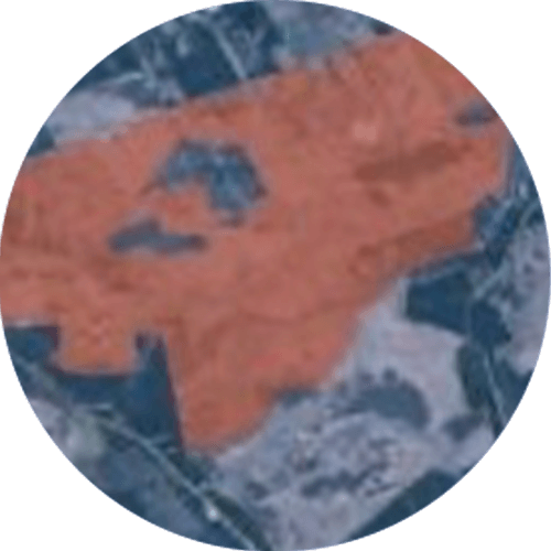
Remote-sensing satellites deliver detailed imagery showing the extent of destruction to roads, bridges, forests, farmland, ports, utilities, and buildings. This information guides rescue teams and emergency responders to the area’s most in need of immediate assistance, while also supporting accurate estimates of the scale and financial impact of the disaster.
Location and Navigation
GPS enables rescue teams to pinpoint the exact position of a person or vehicle in distress. Ships, aircraft, and even hikers can transmit emergency signals that satellites detect and relay. Since 1982, the COSPAS–SARSAT
Electric Power Grid
Satellite services enhance the efficiency and reliability of power networks. GPS timing signals play a central role: operators use them to synchronize voltage and current measurements with nanosecond precision. Before GPS, such measurements occurred every 2–5 seconds with far lower accuracy.
Although backup systems exist, losing GPS would increase the risk of failures and make it harder to diagnose faults across the grid. Satellite communications are also used to support SCADA systems for supervisory control.
Meteorological satellites help grid operators anticipate changes in demand (for example, spikes caused by heatwaves), fluctuations in renewable energy output, and weather-related risks such as lightning or ice. In the future, integrated weather data could feed automated decision-making systems, while large commercial satellite constellations may further enable machine-to-machine communication and IoT applications.
Business, Trade and Finance
The global economy relies heavily on satellites for a wide range of activities — from supply-chain management to the execution of financial transactions.
Trade and Transportation
In the maritime sector, satellite communications, navigation systems, and remote sensing significantly improve efficiency and safety. Shipping companies rely on satellites to track vessels, optimize routes, and transmit operational data. The rise of containerization which revolutionized global shipping depends on precise satellite-based location tracking.
The International Maritime Organization (IMO) requires large vessels to carry a global safety and distress system that uses satellite communications for emergency alerts. In aviation, satellites enhance both safety and airspace capacity while reducing fuel consumption and emissions. Pilots and passengers stay connected even during long-haul flights over oceans.
Likewise, GPS and satellite communication systems improve the safety and efficiency of rail and road transport, enabling real-time cargo tracking and precise, on-schedule deliveries.
Banking and Financial Systems
GPS is essential for the precise timestamping of financial transactions. Stock exchanges, banks, and regulatory bodies rely on satellite-derived timing to ensure accuracy and consistency.
The global foreign-exchange market exceeding $5 trillion in daily volume depends on perfectly synchronized clocks. Without a unified timing standard, transparency and oversight would be impossible.
Satellite connectivity also enables banking services in remote regions, from parts of Africa to Alaska, expanding financial inclusion where terrestrial infrastructure is limited.
Finally, many mobile-app services such as ride-hailing platforms, online shopping, and delivery networks rely on satellite-based location data to function accurately.
Defence and Military Applications
The Armed Forces and intelligence services rely on satellites for missions that would otherwise be impossible to carry out.
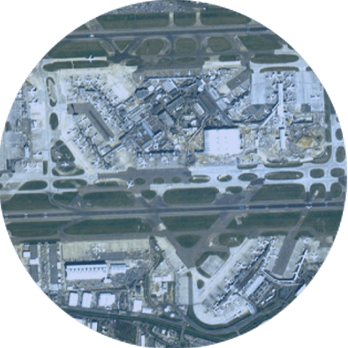
Military satellites deliver launch-warning capabilities, secure communications, navigation support, and surveillance. GPS, remote sensing, and satellite communications are embedded across all layers of military infrastructure, enabling greater precision, faster decision-making, and reduced risk to civilian populations.
Inspiring the Scientists and Engineers of Tomorrow
Space exploration fuels curiosity and ignites the imagination of younger generations. Role models such as astronauts encourage students to dream boldly and, in turn, to pursue and achieve ambitious goals.
Many astronauts, engineers, scientists, and innovators recall watching the Moon landing as children and being motivated to dedicate their lives to making such dreams possible. As former Canadian Space Agency astronaut Chris Hadfield put it: “I wasn’t destined to be an astronaut. I had to turn myself into one.”
Humanity’s pursuit of Mars is already inspiring a new generation of scientists, engineers, and thinkers who will shape the future of exploration.
Advancing Knowledge and Science
One of the greatest benefits of space exploration is the scientific knowledge it generates. Data collected from missions, telescopes, rovers, and advanced instruments constantly challenges and reshapes what we think we know.
In recent decades, we’ve discovered that the number of planets, stars, and galaxies in the universe is far greater than previously imagined. Researchers have confirmed the existence of gravitational waves predicted by Einstein more than a century ago giving us a completely new way to observe the cosmos.
Scientists have also found ice on the Moon, liquid water on moons in our solar system, and evidence that Mars once had oceans. As John F. Kennedy famously said about the Apollo missions:
“We choose to go to the Moon in this decade and do the other things, not because they are easy, but because they are hard.”
Space exploration is indeed difficult — perhaps one of humanity’s most demanding and complex endeavors. It pushes societies to exceed their limits, overcome challenges, and collaborate to reach new frontiers.
Space agencies worldwide are already looking toward the next era of deep- space exploration, beyond the International Space Station. Greece actively participates in international programs through the European Space Agency, contributing to efforts that aim to extend humanity’s reach even deeper into our solar system.
Outlook
Space-based services already underpin much of daily life and their role is set to expand even further. Just as it was nearly impossible in the 1980s to foresee how transformative GPS would become, it is equally hard today to grasp the full impact of emerging commercial space data. The integration of machine learning, IoT, 5G, autonomous vehicles, robotics, and smart infrastructure will dramatically increase the demand for GPS data and satellite-enabled services.
Conclusion
From satellite constellations and reusable rockets to space tourism, Space Force initiatives, and new missions to the Moon and Mars, global interest in space has surged once again. Amid this wave of technological transformation, it is vital to recognize the immense value that space delivers.
Satellite services communication, navigation, weather forecasting, and remote sensing enhance daily life, protect communities, and save lives and property. Consumers benefit from them without even realizing it, while governments and businesses depend on them for mission-critical operations. Satellites have become as integral to the 21st century as electricity and mass media were to the 20th.
So the next time you think about space — think of that.