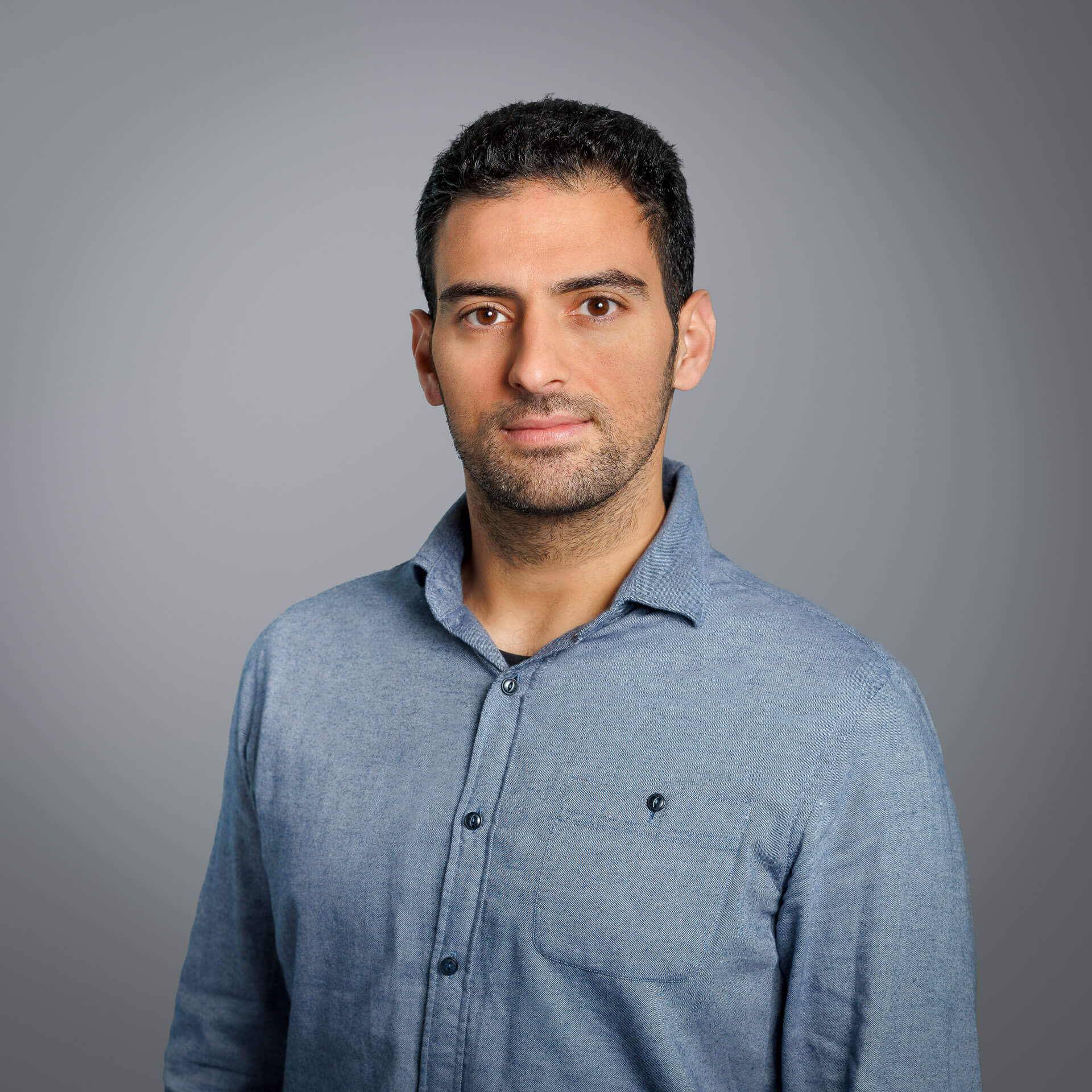
Graduate of the Department of Surveying and Geoinformatics Engineering at UNIWA, with specialization in Photogrammetry and Remote Sensing, and postgraduate student in the MSc Artificial Intelligence and Visual Computing at UNIWA in collaboration with the University of Limoges, specializing in Data Science.
His experience is based on the scientific fields of Photogrammetry and Remote Sensing, with real-world geospatial workflows, including satellite image processing, 3D data handling, and orthomosaic production. He has contributed to scientific projects involving high-resolution satellite datasets and 3D scanning, developing strong practical skills in extracting elevation information from stereo imagery and delivering reliable geospatial outputs.