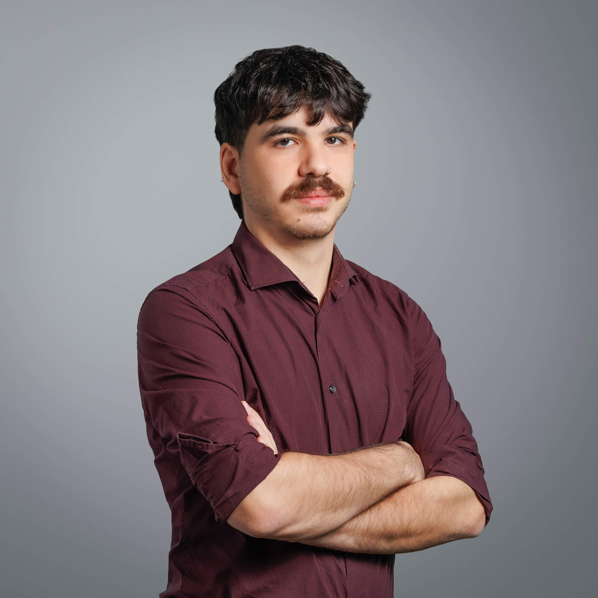
He is experienced in satellite image analysis and hotogrammetric methods, as well as the development of geospatial applications in GIS environments. He specialises in processing and analysing data to produce orthophotomaps and digital terrain models, and has experience of implementing Structure from Motion (SfM) methods in a variety of data, including historical aerophotographs.
He has also worked in 3D mapping of monuments and topographic surveys.