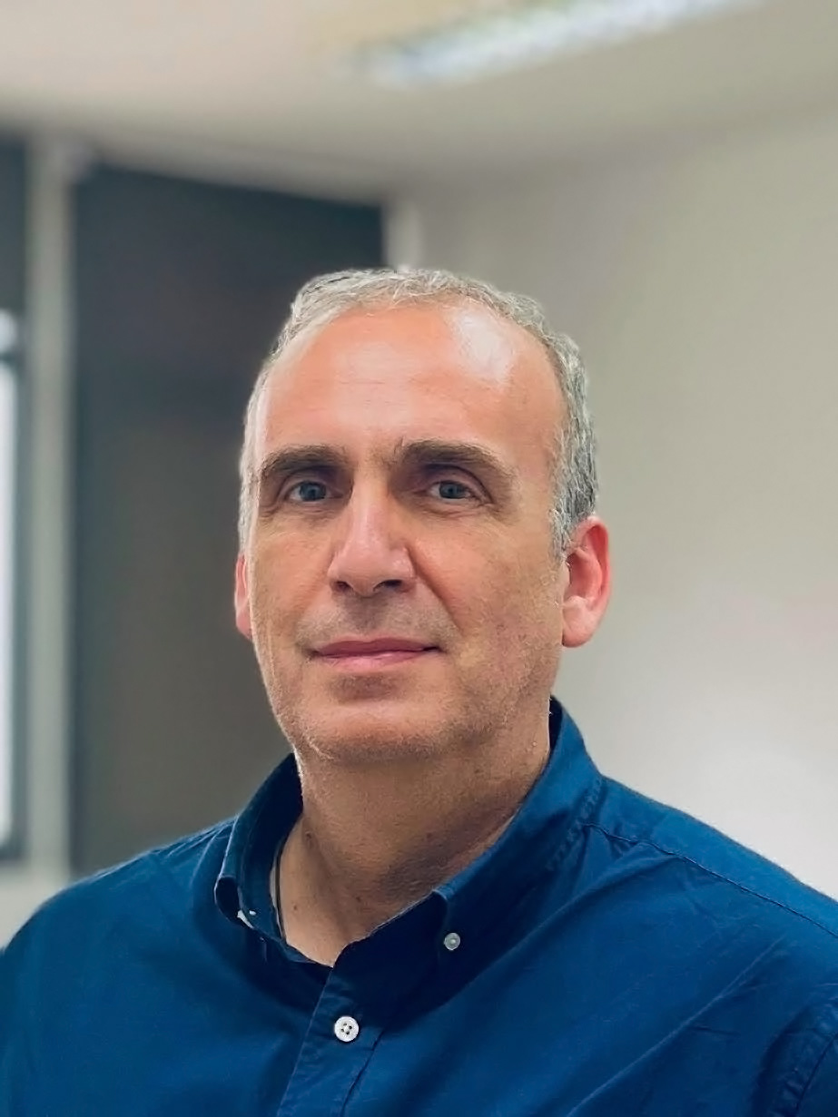
Lazaros Grammatikopoulos is an Associate Professor of Photogrammetry and Computer Vision at the Department of Surveying and Geoinformatics Engineering at UNIWA. He received his engineering diploma from the School of Rural and Surveying Engineering at NTUA, where he finished his PhD. His research work (>40 research programs) focuses on the scientific fields of 3D Computer Vision and Remote Sensing, with emphasis in large-scale and small-scale photogrammetricmapping, the developnent of automations (SfM, Visual/Lidar-SLAM, UAV mapping, mobile mapping, sensor fusion), deep learning and the metric utilization of satellite data. Since 1999 he cooperates with distinguished Geoinformatics and Robotics companies as chief engineer and consultant and has participated in all major national projects for the production of geospatial data (LSO20, LSO25, coastline mapping for the Greek Cadastre, 3D city models for the unified digital map, etc.).